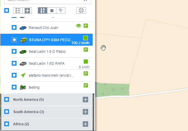
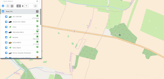
Objects list
The user’s object is displayed in the object list.
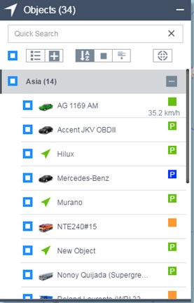 On the object list, there is a set of menu buttons.
![]()
 Whether the object list shows the grouping.
 Expand or collapse all groupings.
 The object list is sorted by object name.
 The object list is sorted by object state.
 The object list is sorted by object mileage.
 The map moves with the object selected by the current object list.
In each object information option of the object list.
![]()
 The avatar of the object. Click on this avatar to configure it.
 Object name.
 The current state of the object and the current speed
The mouse is placed in an option and the display will be different.
Editing of object avatar
Click on the object avatar and a menu will pop up.
Users can choose from a wide variety of vehicle photos. Among them, Rotatable icon and Aerial View are displays of objects on the configuration map.
- Select Aerial View, the map is displayed as

- Select the Rotatable Icon. The map is displayed as
 ,The angle of rotation is based on the angle at which the object is traveling.
 - If not selected, it is displayed as

The state of the object
 The object is driving, the speed is displayed in the lower part of the state, green indicates that the GPS positioning is successful, and blue indicates that the GPS is not positioned.
 The object has stopped. Green indicates that the GPS is successfully located, and blue indicates that the GPS is not positioned.
 The object is already offline.
 The object is not online.